
LAKE TAHOE, Calif./Nev. – The Tahoe Regional Planning Agency (TRPA) continues to make improvements to the Tahoe Boating App and announced today the addition of severe weather alerts, live lake conditions, and new aquatic invasive species prevention tips.
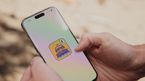
The free Tahoe Boating App is available to download from iOS and Android app stores. Photo by Clean Up The Lake.
TRPA launched the Tahoe Boating App in 2019 as a one-stop resource for safe and responsible boating on Lake Tahoe. The main feature is an interactive map that helps boaters take it slow in no-wake zones and keep boaters, paddlers, and swimmers safe. The agency adopted no-wake zones with the 2018 Shoreline Plan to protect wildlife habitat, reduce shoreline erosion, and safeguard the recreation experience from excessive boat noise and wave action on the lake. The no-wake rules limit boat speed to 5 miles per hour in these zones:
-
- 600 feet from shore
- All of Emerald Bay
- 200 feet from shoreline structures such as piers and buoys
- 100 feet from swimmers, paddlers, and other watercraft
With the recent discovery of highly invasive golden mussels in the Sacramento-San Joaquin Delta, Lake Tahoe watercraft inspection stations and roving inspectors have been on high alert for this new threat to Tahoe’s clear waters and natural habitats. The app’s Aquatic Invasive Species page explains how to prevent the spread of aquatic invasive species that are already in the lake, and how to keep everything else out.
Lake Tahoe marinas and boat rental operators also encourage customers to download the app as a resource to help boaters better prepare for their day on the water, understand conditions, and protect the lake. The Tahoe Boating App saw 7,200 downloads in 2025 alone.
Other features of the app include:
-
- An offline mode to maintain functionality at all times
- Information about aquatic invasive species, cold-water shock, boating safety, and emergency contacts
- Locations of fuel stations and bathrooms
- Lake Tahoe points of interest and wildlife information and photos


Screenshots of the interactive map show the 600-foot no-wake zone, boating services, and area attractions. Other pages show live weather and information on safety and local wildlife. Images by Tahoe Regional Planning Agency.
Learn more and download the app at TahoeBoating.org.
###
The Tahoe Regional Planning Agency leads the cooperative effort to preserve, restore, and enhance the unique natural and human environment of the Lake Tahoe Region while improving local communities and people’s interactions with the environment. For additional information, contact Public Information Officer Jeff Cowen by email or at (775) 589-5278.